Pages

Sunday, November 21, 2010

Signed and Sealed

"The Pinnacles are getting clobbered this morning," said Andy, as we drove south on Route #101. We couldn't even see mountains to our left, because they were so buried in storm. White clouds covered the ridge line of the coastal range to our right, but a band over Route #101 stretched bright blue. "I see white on the coastal peaks," said Andy. He glanced to the right as he drove.
"Don't look, but it's not patches this morning," I said. "The entire tops are white. I heard on the weather channel that snow could fall as low as 1,500 feet. Apparently it did."
Masses at Mission San Miguel Archangel on Sunday included English at 7 a.m. and 11 a.m. and Spanish at 6 p.m., perfect for our 9:30 a.m. tour of the chapel and grounds. Pigeons, perched along the top of the Spanish tile roof, cooed softly as we walked through the churchyard cemetery, where it is believed the first Christianized Indian was buried. The mission, built in 1797, is being stabilized and preserved but not restored. Inside, an older man showed the altar to a group of 6-7 year olds. He explained, "All the paintings are real oils, but there are no artist names on them. We wondered where they came from, so we did some studying. It turns out they were painted by art students in Mexico City, and because the painters were only students, they were not allowed to sign the works." Agave thrived in the courtyard outside, and a wooden olive press indicated one probable crop harvested in earlier years. We chuckled about the sign near our car: "There is a tree behind you, and it will not move for you."
"Today we'll drive Big Sur north to Lucia, where we left off a few days ago," said Andy. "It's clear here now, so we better take advantage of the sun, in spite of the 25 m.p.h. wind."

Our timing at Elephant Seal Cove was perfect. Volunteers stationed along the boardwalk explained the phenomenon and young elephant seals basked on the beach below us. "They will all be leaving in the next day or two," explained Guide Phil to a group of marveling tourists. "These are young males and immature females. That one big guy, probably 4,000 pounds, is a little early, but the rest of the mature males will arrive in December to begin the mating rituals. Females won't mate until about a week or two after they stop nursing their current pups. Then they come ashore. The males fight for dominance to mate with 10 to 50 females." He pointed to two males jostling below us.
"They are practicing for seasons to come, when mating takes precedence over eating for up to three months. These guys are little. They will only fast on the beach about a month. Then they go out to the 3,000-foot depth to feast on squid." We watched and listened in amazement.
"How would you describe that crazy sound they make?" I asked Andy. "The sign calls it a bellow, but it is more like a loud bloooooop."
"I think it sounds like a badly clogged drain or the flap on a swimming pool filter as it laps up and down," he answered.
He should be the writer.
Red winged blackbirds perched on a coyote bush as we headed back to the car.
Route #1 south of Lucia winds even more than the stretch north of town. Some hairpin turns reduced speed to 15 m.p.h. "The Santa Lucia Range seems steeper too," said Andy. The road cut into the side of hills that dropped right into the ocean.
Storm clouds moved in at Willow Creek pullout just north of Gorda, but around the bend the skies were clear. Another half mile up the road and around another bend, a band of billowing white stretched across the horizon from the ocean on our left high up over the rounded Santa Lucia peaks of Los Padres National Forest on our right. We drove as far as Limekiln Creek Bridge, just south of Lucia, where road crews shored up the highway and traffic was reduced to a single lane. Then we turned back south toward Cambria.
Sand Dollars Beach had no sand dollars, but we shot 33 spectacular photographs. Millions of rounded stones lined the tidal edge, but the tide was just turning, exposing acres of sand. Waves shot up between boulders and sea stacks, and clouds created ever-changing shadows as the sun settled lower and lower. "We certainly have a beautiful country," said Andy, as we took one last look from the landing before our climb. It was 79 stairs and then a 125-foot assent to the top. That was enough for today!

Saturday, November 20, 2010

In the Land of the Condor


Huge farms lined Route 101 in the valley between mountain ranges.
At Mission Nuestra Senora de la Soledad, built in 1791, two men recorded radar images of whatever archaeological remains lay buried in the mission yard. One man explained, "Those are really ancient stones on the surface. I'm photographing that from our grid line, and we'll do a radar image with sound of what is under here."
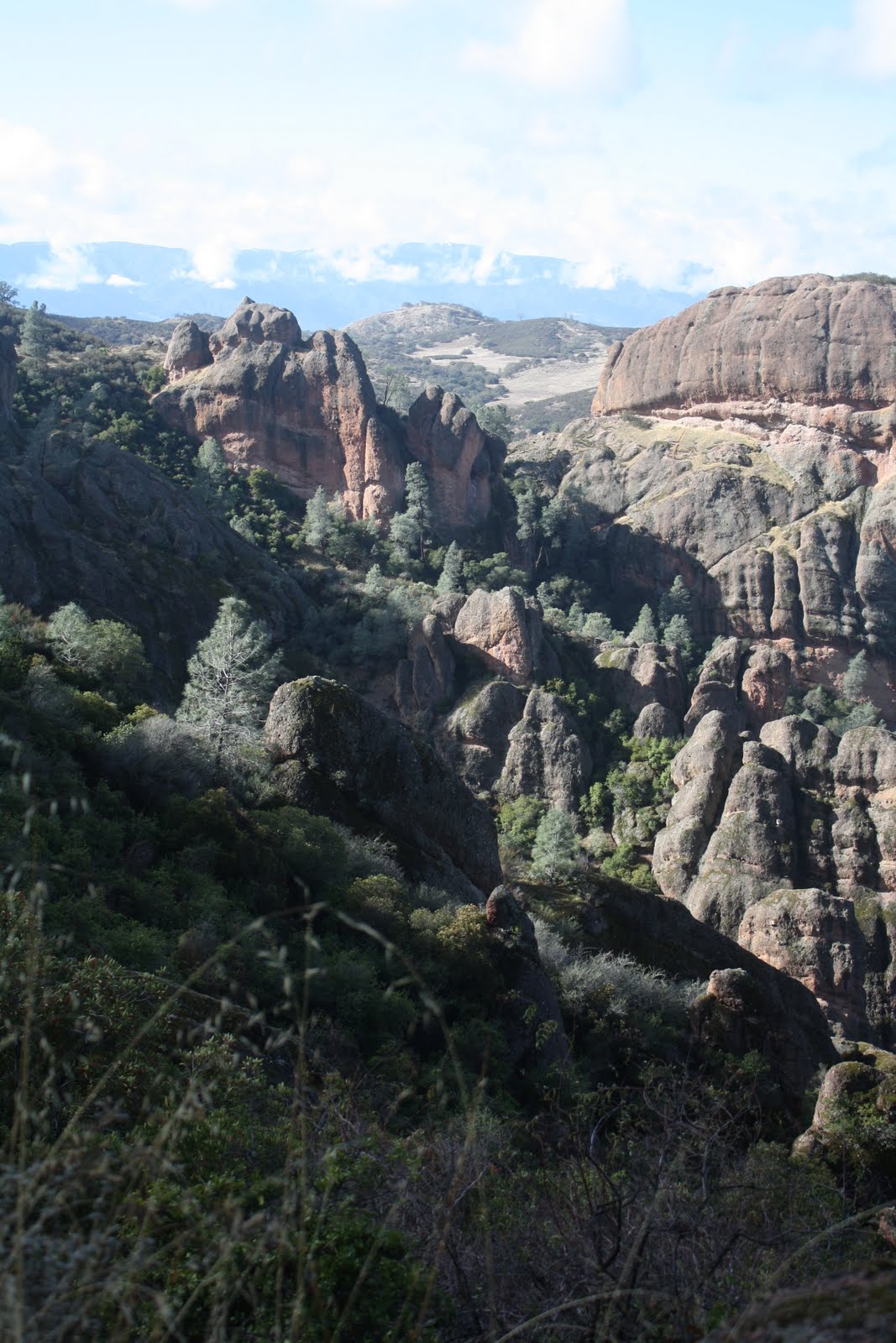
"We're hiking in the land of the condor," said Andy, as we set out on his planned excursion for the day at Pinnacles National Monument. "Take pictures, but don't take so long. I don't want to get caught in the rain." A line of gray collected over the coastal range, but we saw only blue sky in the Gabilans. From Chaparral Ranger Station we climbed Juniper Canyon Trail, up 1,300 feet to Scout Peak, along the steep and narrow section of High Peaks Trail to Hawkins Peak, and down Tunnel Trail to the intersection with Juniper Canyon. In sections at the top, more than 150 steps had been chipped into the granite face. I grabbed the metal banister and held on for dear life. Andy, prodding gently, coaxing and complimenting, talked me through the worst areas. It wasn't as though the trail sur-prised me. We had clambered and crawled through the Pinnacles twice before--spectacular rock spires and crags that bear no resemblance to the surrounding smooth, round hills. Part of the San Andreas Rift Zone, the Pinnacles are actually part of the remains of an ancient volcano some 195 miles to the southeast. This unspoiled wilderness features sheer rock walls, ragged cliff edges, dark and quiet caves and ancient California coastal oaks.
Three hours and 4.4 miles of physical exertion and demanding concentration later, Andy said, "We did it! Yesterday I thought we'd be rained out."
I agreed; it felt good, and I never complained. Not a whit! We had scaled the pinnacles of the condor.
The Mission chapel and museum were open as we drove back towards Soledad. Spanish guitar played softly in the plaza, where roses still blossomed and trees heavily laden with oranges and limes nearly touched the ground.
Now heavy clouds rested on the ridges of both the Coastal Range and the Gabilans, but the valley between the ranges kept its bright blue as we drove back north.
Hats in Three Stages of Landing, a sculpture by Coosje Van Bruggen and Claes Oldenburg, was a disappointment. Two of the giant hats were cordoned off as dangerous, and the third was completely scratched with graffiti. Sherwood Park's "showcase" art needed some serious attention. Plans for wine tasting at Blackstone Vineyards didn't work out either. The name at the entryway was blackened; the inside gate, locked; and all the vines, yellowed. It really didn't matter. No rain meant our day had been just fine.

Friday, November 19, 2010

Inconspicuous Steinbeck

Salinas to Monterey is the vegetable basket of the United States. In the fields workers harvested artichokes. They even had orange and white portable outhouses nearby.
"I guess it makes sense," I said, "but it's sad they aren't even given bathroom time to leave the work site."
"It's jobs that most Americans won't do," answered Andy. "It's drudge work. There are lots of jobs, but people don't want that kind of labor."
Farther north at Moss Landing, workers planted in the field.
At Moss Landing State Beach, signs warned about the nesting of snowy plover from April through mid-August. "If you walk slowly toward those brown areas in the sand," explained an older man with field glasses, "the birds will suddenly pop up from depressions in the sand." He pointed. "See where my buddy is surfing? Walk that way and have your camera ready." Of four or five surfers, the youngest looked 45 years old.
We walked along the marsh of Salinas River State Beach between river and ocean. We could hear waves breaking on the other side of the sand dunes. "The fishing industry moved up here," said Andy, "when everything closed in Monterey."
At Moss Landing Harbor we climbed on the rock groin. "Beware dangerous waves," warned the sign. A fog horn sounded twice every 20 seconds. Today was calm. Within minutes we saw an otter on his back eating lunch, several harbor seals turning circles, a sea lion looking for snacks and at least 15 pelicans gliding in twos and threes a couple inches above the water.
Closer to Salinas, fields spread like black and green checkerboards. "Look at that soil," said Andy, pointing to areas already rototilled. The rich blackness contrasted to adjoining plots of green artichokes, ready for picking.
At the Steinbeck House, birthplace of the author and his home until he finished college, lunch included a tour of the downstairs. Our table was in the parlor. Served by Beverly, we dined on taco salad, avocado chicken wraps and spinach almond pear salad. Waitresses and hostesses, all Valley Guild volunteers in their 80's, faithfully attended guests as classical violin played softly in the background. Then Ann showed us where the author had grown up. "This is the parent's bedroom where John was born and that bureau was his," she said, pointing to a dresser behind the wooden screen, which had actually been a parlor folding door. Impeccably refinished, each room downstairs included small tables with floral clothes and white and cranberry linens, ornately painted ceilings, polished woodwork... elegance and class, unlike the Steinbeck of the novels. Andy's beer at lunch was more Steinbeck-style. "He told it like he saw it," said Ann as she walked us through the serving area to the children's bedroom, "and people here didn't like him very much for that."
I asked Ann who lived in the house when Steinbeck traveled with Charley, his standard French poodle, in the early 1960's and if he came back to see the place of his birth.
Ann said, "The Catholic Church probably had the house at that point, but when Steinbeck came here with Charley, he didn't want to be noticed. He didn't let anyone know he was here."
"Inconspicuous," I added. "He was just an observer to see if what he had written was accurate and to take a measure of America." In fact, in Travels with Charley, he wrote, "I came out on this trip to try to learn something of America. Am I learning anything? If I am, I don't know what it is."
Now, everything here is in Spanish: restaurants, grocery stores, even the directions at the laundromat and the graffiti on the garbage bin. I wonder what John Steinbeck would think of that.

Salt, Sand and Surf

"I think this weather is ours for all day," said Andy as we drove back to Point Lobos State Reserve in the early morning. "Even if you hadn't suggested returning, I thought about coming back here to walk more of the park."
Again we left the car by the highway, California #1, and walked the mile in. "Free if you walk," the guard had told us yesterday. The admission sign said, "Entrance fee $10, Seniors 62 and over $9." Today we followed South Shore Trail through Monterey pine groves to Bird Island Trail to Seal Point Trail and back to the entry on the road, probably four miles, but what a fascinating three hours!
Fog hugged the hilltops; it concealed just about everything inland above 300 feet. Dressed for the 50 degree chill, we meandered up and down along the trail, watching the geology change, listening to the seals bark in the distance, smelling sage as it dried and Pacific Coast pine trees and salty seaweed from the shore. Poison oak grew on both sides in many spots. "I pity the person who can't identify it," said Andy. "I've heard the rash can be worse than poison ivy."
Waves washed the black sand beach at Hidden Cove. "This is volcanic," said Andy, as we passed. "It's amazing how different the geology of the coves can be."
One cove had sandstone cliffs; we could even see layers in it like waves.
"And we passed areas that look like conglomerate," I reminded him, "with the small pebbles of all sizes and colors cemented together."
At Otter Cove as many as six or eight otters played in the waves--gliding belly up, rolling and spinning under the water and chasing each other through the incoming surf. We watched them from every side of the horseshoe cove.
Our next stop was Monarch Grove Sanctuary in Pacific Grove, a micro-climate for monarchs migrating south. An independent photographer on site pointed out all the "brown leaves unfolding" as temperatures rose to 55 degrees and the insects warmed to life.
After parking downtown in Monterey, we took our own walking tour. With several wrong turns, Andy found Presidio Chapel, the historic mission church built in 1770. I read the sign at the back: "Under this oak tree, (now preserved inside the heritage museum) Junipero Serra claimed California for Spain." A rock marked the spot.
The canneries of Cannery Row disappeared long ago when the fishing industry collapsed in 1950, even though over-fishing was evident in the 1930's, but Cannery Row is a memory, preserved by Steinbeck in the novel of the same name and by Steinbeck's friend Ed Ricketts, a marine biologist who appears as Doc in some Steinbeck novels. We followed a "beach access" sign through an alley between buildings. There we found "Ed Ricketts' backyard." The ocean washed in between pilings and foundations with cement boxes where Ricketts stored his marine samples. For me, it was history and literature come to life.
Just as we headed away from the historic touristy block, we heard squeals from the water. "Let's go see," I coaxed. A large group of teenagers had gathered on the beach. All tourists themselves, they cheered and dared five of their own into the water. Two girls and three boys in bathing suits waded, splashed and swam neck deep in the Pacific near Ed Ricketts' backyard. Andy and I shivered. We both were dressed in sweatshirts and jackets.
It took a third trip back to Point Pinos to get beyond the gate at the Lighthouse, open 1:00 to 4:00 p.m. Thursday through Monday, but we walked the grounds and snapped pictures of the landmark.
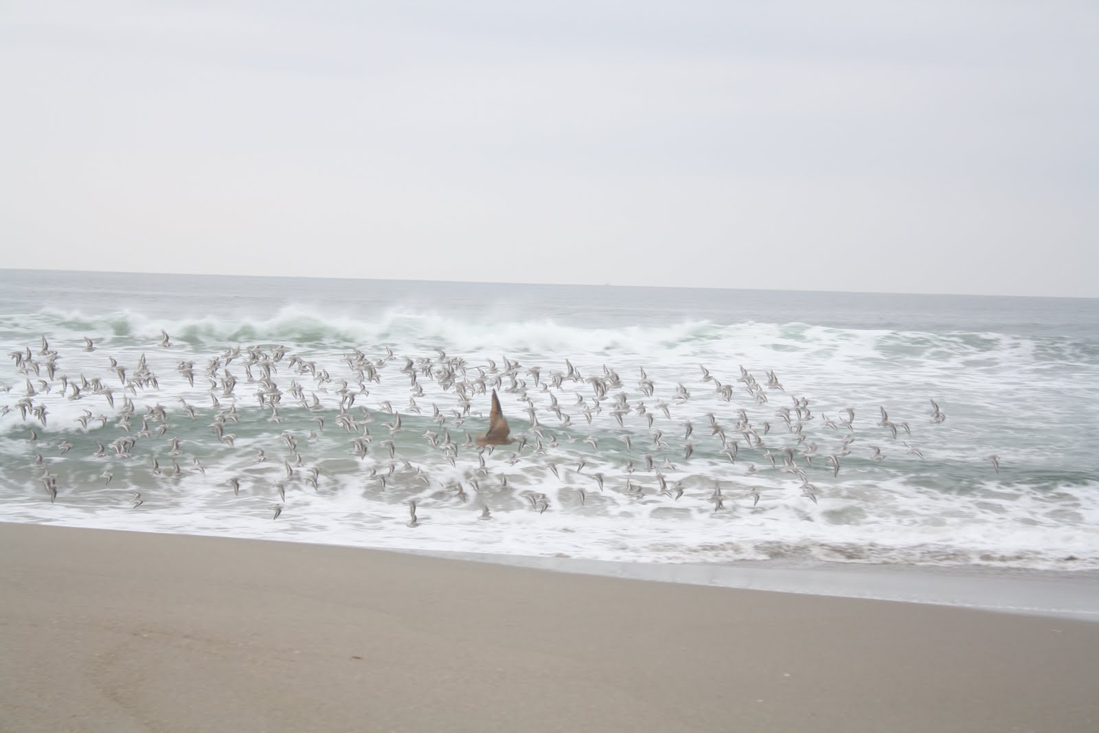
As the sun dropped closer to the horizon after 4 p.m., residents of Carmel-by-the-Sea walked their dogs. We joined them for an hour, strolling the sidewalk one direction and admiring the landscaped homes, coming back on the sand the other way and greeting friendly canines as they chased rubber balls. Sandpipers and sea gulls inspected the water's edge for pickings in the foam. No wonder Ed Ricketts wandered for hours along this coastline. No wonder it's a national treasure.

Thursday, November 18, 2010

Coasting along Big Sur

A Porsche tore past us as we set out along Big Sur, paralleling the Pacific Coast. "Here's a good shot," Andy said at every pullout. We cruised about a quarter mile at a time, letting the tailgaters pass at every opportunity and easing off the road to photograph the scenery and admire the spectacular coastline inlets and ocean vistas. Each time Andy said, "You've got a shot in this direction" or "Try that way."
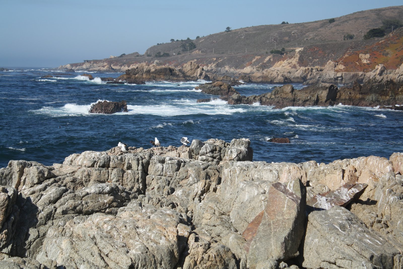
I couldn't focus fast enough to capture the cormorant airing its wings or the monarch floating over a slope of ice plants or the wave crashing high over a lava sea stack. Beds of seaweed floated on the water, and kelp danced on rock surfaces when waves washed over as the tide came in. We caught the morning mist at 8:30 a.m. before it burned off, and I hummed the song, "the morning fog may chill the air, I don't care..." And I really didn't. We stripped to shirt sleeves by 9:30 a.m.
"They do have landslides along here during the rainy season," said Andy, as we drove south of the town of Big Sur. We hugged thousand-foot high slopes that dropped straight to the sea. "But this year the rainy season is holding off," he added, as the road wound through a stand of redwoods. Then the cliffs popped up again. "I've read that it's easier to drive north on this road, because you're on the inside," he said. We rounded a curve on the outside lane that dropped at least 400 feet straight down to the ocean. No guard rails. I didn't look.
We headed the 50 miles back north from Lucia. Now, instead of the ocean views, we were seeing more of the mountains as the road climbed, the sun behind us.

At Point Lobos State Reserve, the site of a determined cypress tree growing from the rocks, we left the car by the highway and hiked in along the road to the Allan Grove. Spanish moss dripped from hardy trees. Closer to the point, gnarled trunks twisted around boulders and bent away from the salt spray. To our right, another trail climbed to the top of the rocky point and then down to shell-encrusted tidal pools among the sea stacks and lava and sandstone. I pictured Doc from Cannery Row picking his way around the puddles and checking for marine life.
Off shore on the sea stacks, the seals yelped in rhythm to our steps.
"I could live here," said Andy as he drove Scenic Drive in Carmel-by-the-Sea. We parked and strolled five or six beach blocks down and back as the sun dropped. A line of surfers waited patiently, alternately catching waves or bobbing over them. A good ride counted about ten seconds. Everywhere on the beach people walked dogs: golden retrievers, dashing into the surf for sticks; Lhasas and poodles, prancing in the sand; terriers, running after tennis balls.
At Carmel River State Beach, gulls gathered just at the wave line. We watched them step back as the tide forced water higher on the beach. Andy said, "Get ready with the camera. I'm going to run." Just like the dogs, we dashed across the sand.
When the fog rolled in and settled, the sand and water melded together in white. Forty-five minutes later, the fog had shifted, in the words of Carl Sandburg "on little cat feet" a block away.
"It's all going to be blanketed by morning," said Andy.

Wednesday, November 17, 2010

High Pressure Seals

It's amazing how all-consuming a "little" car problem can be. This morning Little Red needed attention. For two days the temperature gauge sky-rocketed when we sat in traffic, and San Francisco certainly has plenty of traffic jams.
"Turn on the heat full blast, flip the fan dial to number four, and open the windows," I said. I know my car. It's an uncomfortable temporary measure, but it works.
"It sounds like the head gasket," said the manager at Sears Automotive, a nerve-wracking eight miles of bumper-to-bumper traffic away from our Oakland motel, "but my top mechanic won't be here for an hour."
"Not the thermostat," said the head mechanic. "Let's try a new pressure cap for the radiator."
Two hours and $12.17 later, we headed south again, one eye on the road and the other on Little Red's temperature gauge, by all indications functioning normally. But then, we weren't really stuck in traffic.
At the Carmel Mission of Junipero Serra, school K-8 was in session. "I'd probably get arrested for taking pictures here," I said, as we left the playground side of the mission. We walked through the grounds and around the old cemetery.

"How about buying me a house in Pacific Grove on the waterfront?" I suggested. "I'll ask nicely! Please?"
Andy just laughed. We ate our lunch at the beach and walked along the shallow rock coves, waves crashing on outlying juts of rock, sending plumes of white spray in all directions.
Hundreds of pelicans perched on the offshore rock outcroppings and bobbed on the water, intermingling with the gulls and the sooty shearwaters.
All of a sudden, a little boy shouted, "I see seals. Look! Over there! The heads are popping up and down." The pelicans knew it too. Suddenly, the sky was filled with birds, circling, wings beating. And then they dove. Indiscriminately, suddenly, from anywhere in the circle of flight, dive-bombing the ocean, beak first, like arrows shot at the water.
"The seals drove in a school of fish," said Andy, "and the birds were ready for dinner."
The sight was amazing.
From a distance we photographed Point Pinos Lighthouse, open Thursday through Monday. It was Tuesday. As we left, two men scaled the wall on the tenth tee of the Municipal Golf Course, clubs slung over their shoulders. "I think they plan to play without pay," said Andy.
"It wouldn't surprise me," I agreed. "You said there were courses here for more than $500 a round."
For two hours before sunset, we walked Old Monterey along the quay. At the Coast Guard Station wharf, the harbor seals posed for us and then barked their "eerowk, eerowk" call. No pressures. No problems. No worries.
Everywhere people were outdoors--biking, jogging, walking, roller blading. "It's so nice to see," said Andy. "So healthy. The good life."
"Eerowk!" I answered.

Monday, November 15, 2010

San Francisco Firsthand

Tackling the Monday morning traffic at 8:20 a.m., we headed north to Marina Bay Park and Rosie the Riveter World War II National Historic Site.
Here, clean and well-manicured, the Bay Trail in Richmond offers amazing outdoor opportunities. With 20 miles of Bay Trail in place, Richmond stands out as having more Bay Trail than any other city on this planned 500-mile hiking and biking route encircling San Francisco Bay area. Planning is evident. There were interpretive signs and small parks all along the four miles we walked. Shimeda Friendship Park, with its simple wooden dock posts, pays tribute to Richmond's sister city in Japan; yachts lined the harbor docks.
During World War II, 18,000,000 women worked here in defense
industries and support services. The Kaiser shipyard workforce was the most productive in the U.S. Women worked alongside men around the clock to drive a wartime economy. Today the area is perfectly manicured with flower gardens, luxury yachts, neatly kept condominiums and million-dollar homes.
Leaving the popular Bay Trail, we took the Richmond-San Rafael Bridge back to the Marin Headlands and Point Bonita by the Golden Gate Bridge to explore some of old Fort Baker. Battery Mendell protected San Francisco Harbor in 1905. The "disappearing guns," then an ultra-modern invention, could shoot eight miles out to sea and retract to protect both the guns and the soldiers who operated them. In 1943 they were replaced by Battery Wallace, guns much less visible, that were buried into the hillside and could shoot twice as far. Today both inventions of warfare are ridiculously obsolete. "Just think of all the wasted money for this," said Andy. But it wasn't wasted then, since the gun emplacements served their purpose.
Battery Townsley, built in 1938, featured rotating turrets at the hilltop, but signs warned of slumps and moving earth since the 1989 quake. The .6-mile climb scaled a steep rounded embankment that commanded an expansive view of the waterfront. Down below 25 or 30 surfers waited patiently for the right wave. "The sets are too far apart to be good today," explained another visitor at the top. "It's too calm for good surf."
"Pacific," I said to Andy. "For the first time since we've been here it's living up to its name."
San Francisco Harbor, long considered the most important and strategic harbor on the West Coast, required protection for military and economic purposes. Our last stop of the day, Battery Yates included six three-inch guns aimed at the Bay from 1905 until 1946 for defense. We picked our way around and over the cement platforms for views of San Francisco and the towns surrounding beautiful San Francisco Bay.