RETIREMENT
TRIP #6
ALMOST GHOST TOWNS
September 2015
We’re back in shorts this morning
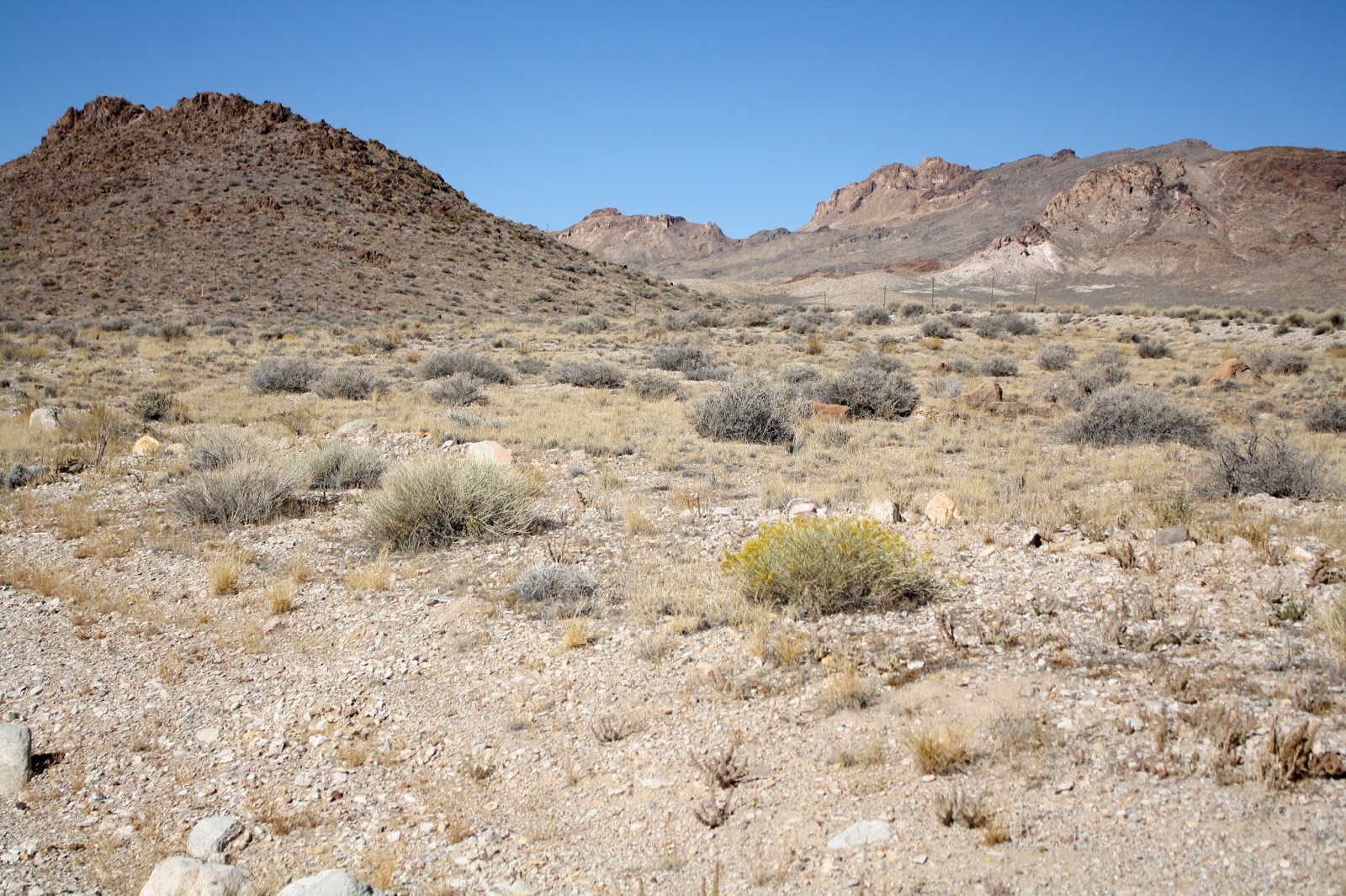
heading out of Ely, Nevada around the 7,000-foot elevation. Heading southwest, we won’t see much beyond
the wide high valleys with Utah juniper and cedar, wider low valleys of sage
brush and tumbleweed and the chains of mountain ranges that separate them.
 |
| Along Route #6 in Nevada the sagebrush tints the slopes a dull green in the early morning light. |
I noticed snow fences and a pullout for
installing and removing chains.
“There are paved roads in Nevada that
average only 50 cars a day,” said Andy.
“Route #6 is not one of them.”
Route #6, a major U.S. highway, was
labeled the Grand Army of the Republic in Ely.
Pretty amazing, since it’s only one lane each way! But that’s how people traveled across the
U.S. before the age of the Interstate.
Today the hills are tinted green, and
the fire danger here is only moderate.
We drove this way some years ago in the summer when the sage was dry and
the land cried out in utter desolation.
 |
| With less water Railroad Valley looks parched and almost lifeless. |
Water is the whole issue here. No one lives in these lovely, scenic valleys
because there is so little water available to sustain life.
At the intersection of Route #6 and
#379, the town of Currant was totally abandoned. All the room doors of a little red motel
stood open and windows of the two nearby houses were broken. It was sad to see people’s dreams
shattered. Here they just walked away.
But Currant only had a few buildings at
the intersection.
 |
| As we climb out of Railroad Valley, plants cover the hillsides. |
Valleys got drier as we headed
southwest. Crossing Railroad Valley, we
spotted structures in the distance.
Coming closer we could see a couple oil rigs pumping up and down.
“It’s a refinery,” said Andy in
surprise. Numerous signs warned No
Trespassing.
“There must be enough oil here in this
dry, desolate valley to make it worthwhile to build all that,” I told Andy.
He agreed. “But the sad part,” he said, “is that when
the oil runs out, they’ll just leave, and the structures will just be
abandoned.”
Climbing out of Railroad Valley, we saw
the rock layers change. The road cut
through sections of black basalt, probably lava flows from long ago. From Blackrock Summit, 6,257 feet, we could
see rounded, burnt-out hilltops, probably lava craters from long ago.
A pamphlet verified that the hilltops
were part of a 15-mile long chain of cinder cones. There wasn’t a tree or bush as far as we
could see—only the dull green of sagebrush and the golden yellow of snakeweed.
 |
| Tonopah Test Site marks the entrance to Area 51. |
“They probably haven’t changed it since
Currant went defunct,” I told him.
We skipped Lunar Crater Volcanic Field.
“I’m skeptical with this car,” said Andy.
It was 13 miles out on a dirt road, but we were right about the terrain
being volcanic. In ages past this area
was an extremely active volcanic field with cinder cones, craters and lava
flows that cover more than 100 square miles.
The pamphlet said that the area had been
used in the 1960’s for simulations of lunar expeditions, because the geologic
features found here are similar to those found on the moon. They are well preserved because of the dry
climate. The area is also used for
extra-terrestrial study.
It’s such a different world here from
what we know. We tried to imagine life in
this valley when we passed Tybo Hot Creek Base Camp in the middle of
nowhere. Self contained, a family would
need a generator for dependable electricity, a huge freezer to store a whole
slaughtered cow, and a gas tank for fuel.
“And where do kids go to school?” asked
Andy. “Ely or Tonopah? They must be home
schooled.”
There were only a couple ranches that we
could see within 50 miles.
“I wouldn’t be surprised if these were
corporate ranches,” said Andy. “They
just hire the workers.”
Warm Springs at 6,293 feet was also
defunct. This apparently had been a spa
at one time, but it certainly wasn’t a place of elegant pampering.
 |
| One of the many abandoned houses in Belmont, this one hugs the ridge. |
As we approached Tonopah, the cinder
cones looked more reddish, and snow poles lined the road as it curved and
dipped. They must get more drifting snow
here.
At McKinney Tanks Summit picnic area,
6,390 feet, the water was unsafe for consumption. A stop sign had obviously been used for
target practice. We pulled over just to
check the map and take a couple pictures.
 |
| It's called a jail break from the all-metal four-man cell in Belmont. |
About 12 miles from Tonopah, a road
branched off to the right. Tonopah Test
Site, a division of Sandia National Laboratories, advertised quietly with a
huge missile, but the road had no name, and it wasn’t on the map. Someone or ones had taken pot shots at the
missile.
“The whole complex is their secret test
site,” said Andy. “That’s the famous
Area 510--the place where they tested the atomic bomb and the stealth bombers.”
A little farther on were underground bunkers,
then the Tonopah Speedway, and then the airport.
We turned onto Route #376, headed to
Belmont. The destination was a 32-mile
drive into nowhere. Belmont was the
“town” where Charles Manson hung out and hid with his three female accomplices
after the Sharon Tate murders. Andy had
read that it was a ghost town at 7,400 feet elevation. How wrong and ironic that was!
 |
| Another Belmont house is left to the elements in this old mining town. |
Instead of being abandoned, every other
house was new and occupied. In between
the tumbled brick and broken timber piles was current construction. Dirty Dick’s Saloon opened at 3 p.m., and
Susie advertised her “Attic” of new and old collectibles. Names of a five-member town board were posted
at the picnic site, and workers pounded away at new house construction across
from the 1876 Courthouse. Even the
street signs were beautifully carved wooden pieces, stained and sealed. Nowhere did we see a word about Charles
Manson. Thank goodness no one is
benefitting from him.
 |
| Used once a month, this small non-denominational church stands at the crest of the mountain. |
One pamphlet explained that the town was
alternately named Silver Bend, then Philadelphia, and then Transylvania in the
years after the first official silver mine claim was filed. That was in October
of 1865 on the southeast slope of central Nevada’s Toquina Range. Tents were the first structures in the mining
town that eventually became Belmont, but soon wooden structures and then
buildings of stone and red brick housed a bank, school, telegraph office, post
office, general store, two newspapers and numerous whiskey shops.
 |
| Rail cars and old mining equipment dot the landscape in Goldfield. |
A church on the hill, originally built
by subscription in 1872, is a non-denominational replica of the Belmont
Catholic Church that was moved to Manhattan in 1906.
The brick Courthouse in the center of
town symbolizes both the glorious past of Belmont as a silver mining town,
netting more than $15,000,000 in the mid-to-later 1800’s, and its decline.
 |
| At sunset the mill in Tonopah stands in ghostly silence. |
 |
| The mine and mill in Tonopah are part of a living museum. |
Now it seems people are returning.
 |
| Sunset casts beautiful shadows on the tiny abandoned miners' homes of Tonopah. |
“The Courthouse still functions,” said
Andy. It was built in 1907.
 |
| Poverty and defunct mines turn Tonopah into a semi-ghost town. |
Joshua trees popped up near the turnoff
for Alkali, but that defunct “town” was only one deserted building surrounded
by numerous poles and wires. A donkey
grazed near a pond just beyond, but the three-story decorated concrete block
edifice was missing all its windows.
There really was no Alkali at all.
This one did house only the ghosts.
No comments:
Post a Comment